Graphical user interfaces (Computer systems)

It gives you access to an innovative software platform that allows you to create and deliver rich Internet applications that can run across a wide variety of connected devices.
- Vị trí lưu trữ: 03 Quang Trung
- Tổng sách: 1
- Đang rỗi: 1

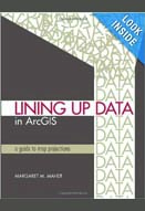
Lining up data in ArcGIS : a guide to map projections
1. Identifying the type of coordinate system for data using arcmap; 2. Identifying the correct gepgraphic coordinate system; 3. Identifying the projected coordinate system; 4. When standard coordinate system don’t work-working with nonstandard units; 5. Aligning CAD data-modying a standard ...
- Vị trí lưu trữ: 03 Quang Trung
- Tổng sách: 1
- Đang rỗi: 0

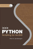
Python scripting for ArcGIS (with CD)
1. Introducing python; 2. Geoprocessing in ArcGIS; 3. Using the python window; 4. Learning python language fundamentals; 5. Geoprocessing using python; 6. Exploring spatial data; 7. Manipulating spatial data; 8. Working with geometries; 9. Working with rasters; 10. Map scripting.
- Vị trí lưu trữ: 03 Quang Trung
- Tổng sách: 1
- Đang rỗi: 0

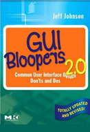
GUI bloopers 2.0 : common user interface design don'ts and dos
Presenting first principles, GUI control bloopers, Navigation bloopers, Textual bloopers, Graphic design and layout bloopers, interaction bloopers, responsiveness bloopers, Management bloopers.
- Vị trí lưu trữ: 03 Quang Trung
- Tổng sách: 1
- Đang rỗi: 1


